
Dine and shop at Banyo Village Precinct.
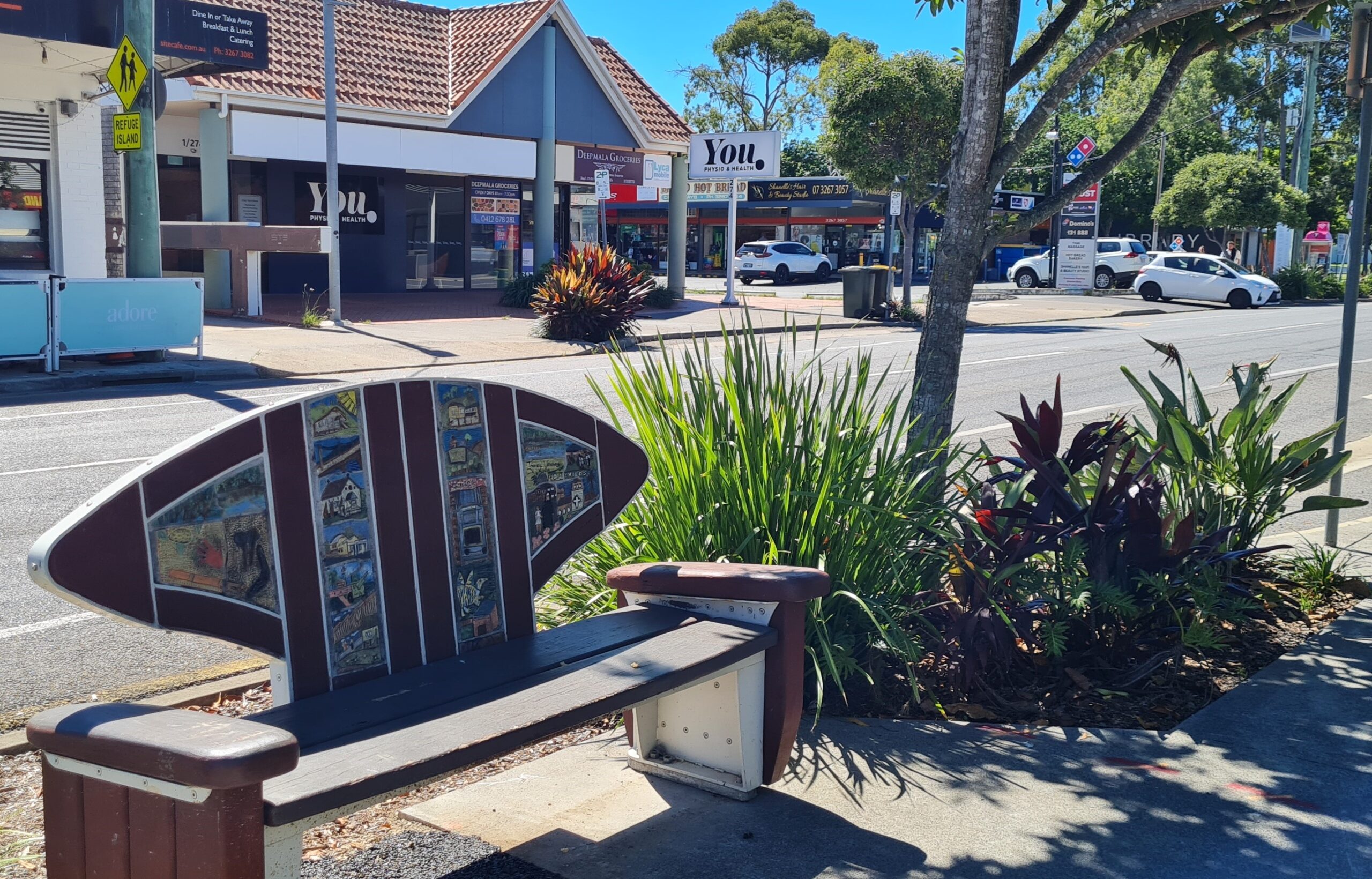
A story on every corner
Banyo is rich in local history and early multicultural influences which are reflected in the area’s housing and development. Take a journey past some of the local heritage places that have shaped this charming suburb using Brisbane City Council’s Back through time in Banyo and Nudgee Heritage Trail.
Banyo Village logo - the story behind it
Banyo Village precinct, set on both sides of the tracks, has always been unique.
The logo represents the geographical makeup of the precinct, with the train line running through the middle. The train line is a central point that links businesses with each other and the community.
Our logo celebrates this connection, representing how the train line and major roads don’t just divide – they unite us.
The bright colours reflect our unique, vibrant precinct, the businesses, and our bright future.
Our tagline – A story on every corner – reflects the connection of the streets, shops and community. It’s also a nod to Banyo’s rich history, which you can read more about below.
We’re transforming into a bustling community hub, with businesses, locals, and visitors all woven together in the heart of Banyo Village.
Thanks for being part of our community! We can’t wait to connect with you.
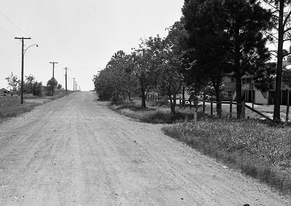
Settled by farmers as early as 1849 and known as ‘Clapham Junction’...
The suburb was officially named ‘Banyo’ in 1897, the Aboriginal word meaning a small hill or ridge. It is said the hill Banyo was named after no longer exists as it was extensively quarried by the US Army in World War 2 to construct Eagle Farm Airport.
The opening of Clapham Junction train station and the Brisbane to Sandgate Railway in 1882 saw some farmland developed into housing estates, with the remaining farmland turned into housing after World War 2. Clapham Junction railway station was renamed Banyo railway station in 1897.
During World War 2 the US Army widened Earnshaw Road and constructed a depot with 75 buildings. In 1947 the Golden Circle cannery opened on part of this site.
Interesting facts:
- Some streets in Banyo were named after pioneering families, local landmarks and long past activities.
- One of the first settlers – a farmer by the name of James Robinson – settled in Banyo in 1849. His sons served on the Toombul Shire Council and Robinson Road was named after the family.
- Clapham Junction train station was earmarked to be the junction for the future north coast railway line; however, Northgate station was chosen.
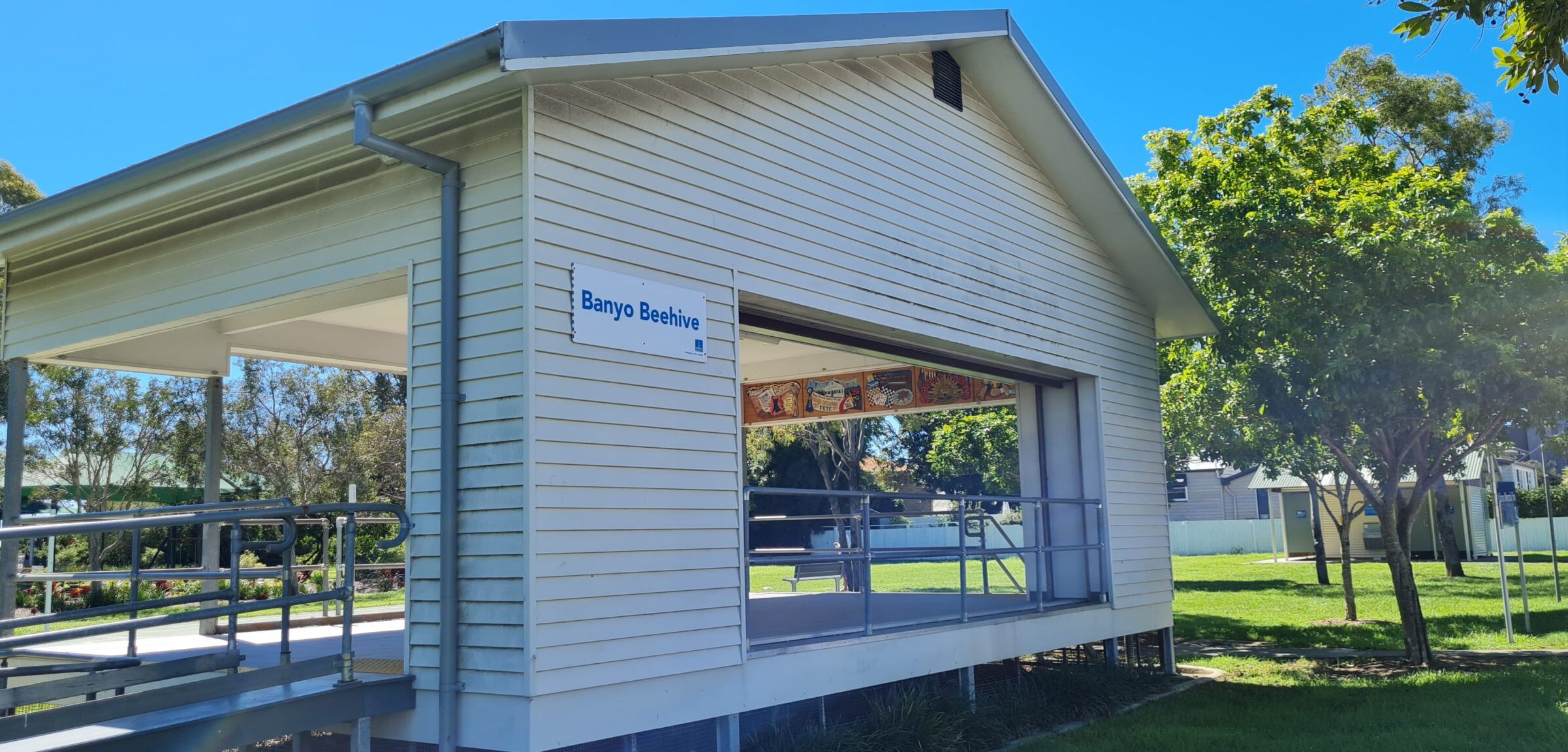
Banyo Beehive bandstand, Banyo Memorial Park
When the land previously occupied by the Banyo School of Arts Memorial Hall was sold, the funds were allocated to the development of a community facility. The residents decided on a bandstand and the Banyo Beehive bandstand was built in 2013.
The façade and internal murals of the bandstand depict the visual memories of the Banyo School of Arts Memorial Hall (1925-1998).
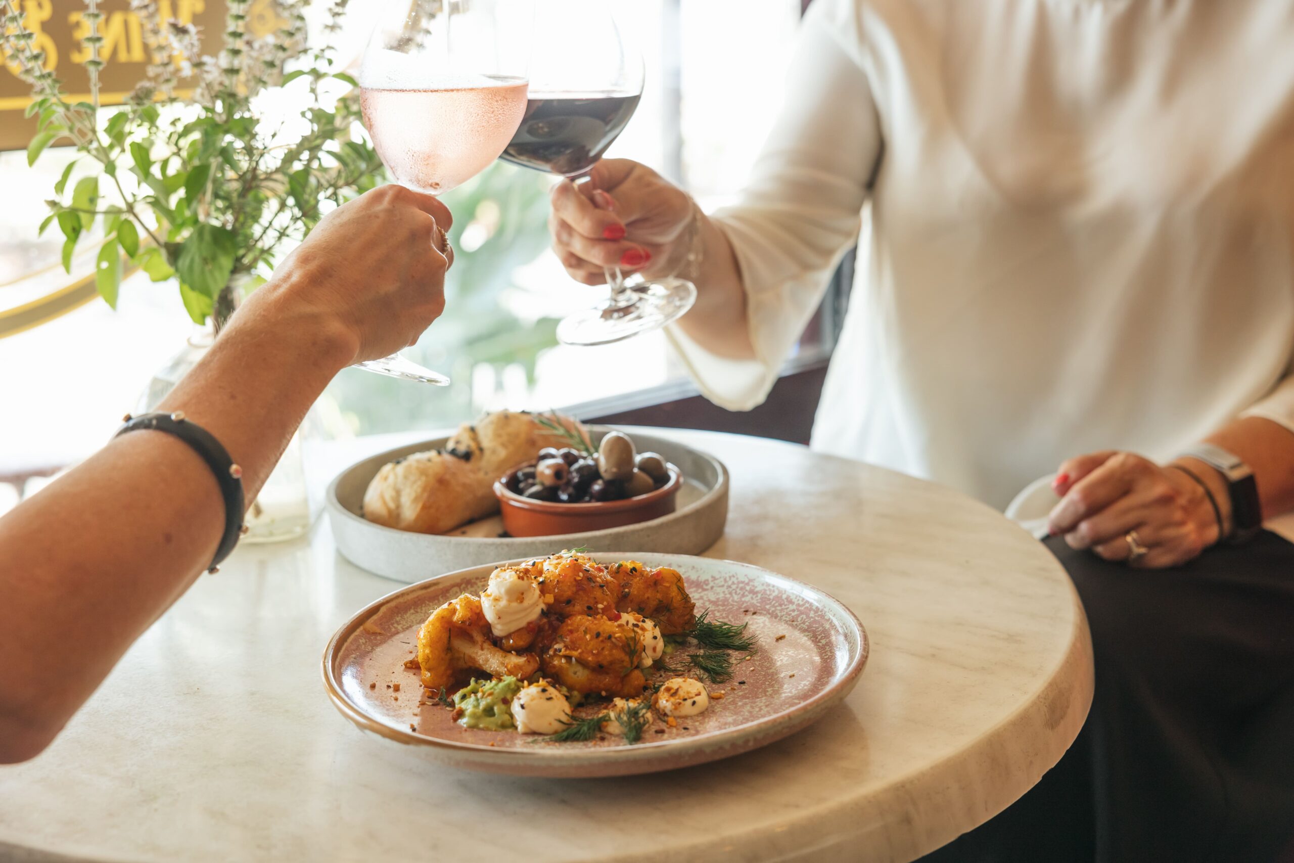
Clapham Junction Bar and Restaurant
The name is a nod to the original name of the suburb.
You’ll be transported back in time when you walk through the red doors of Clapham Junction. This vintage, chic wine bar is reminiscent of a 1920s railway refreshment room, serving delicious food and unique wines.
Banyo School of Arts Memorial Hall
Originally called the Banyo School of Arts, it was the hub of the community in its day. The hall was used as a polling place, for church services, concerts, dance and euchre parties, fancy dress evenings and balls, meetings and fundraising events. World War 2 saw a change in activities with classes for air raid precautions, as a cinema (known as Banyo Theatre), for bingo, playgroups, ballet classes, self-defence and gymnastics classes, and as a meeting space for various groups including the Banyo-Nudgee Branch of the Queensland Women’s Electoral League and the Banyo RSL Sub-Branch.
The local community instigated the movement to construct the school of arts so they could build a dance hall and provide a place for returning soldiers to socialise and be entertained (it was World War 1). They started fundraising in 1917, the land was purchased in 1918, and the Banyo School of Arts opened in 1925.
The Banyo School of Arts opened with a World War One Honour Board installed in the hall. Years later after the next war, the World War Two Honour Board was installed. The installation of the World War One Honour Board is the reason the word “Memorial” was added to the building name.
Situated at the junction of St Vincents Road and Royal Parade, the land is now occupied by the Banyo War Memorial and C&K Banyo Station Childcare Centre.
For further details please visit History of Banyo School of Arts Memorial Hall
Banyo War Memorial
Banyo War Memorial was built around the original flagpole that stood in front of the Banyo School of Arts Memorial Hall. The memorial was dedicated on Anzac Day, 25 April 1999 and is maintained by the Banyo RSL Sub-Branch.
Banyo has a long military history. At the end of World War 2 the land occupied by the United States Army was transferred to the Australian Army and renamed the Banyo Ordnance Depot. It remained a stores depot until 2003.
To find out more visit Anzac Square’s Memorial Information or Virtual War Memorial Australia.
Banyo Kindergarten
Realising the need for a kindergarten, local parents raised the money, and this kindergarten was built in 1967. You can find out more and see some pictures of the construction on the Banyo Kindergarten page.